
Last year 95 satellites launched into space. Having satellites go up into orbit and go about their work is nothing unusual since the start of this practice in 1957. As there is a high potential for research to be done in space, unmanned satellites can provide us with a lot of useful data. Now Intel works with ESA and Ubotica to go one step further by sending up an AI-powered satellite.
The PhiSat-1 (also ɸ-Sat-1) has the size of a cereal box and was launched from French Guiana on September 2nd, 2020, on board of Vega Flight VV16 run by Arianespace. Intel claims that this is the first time someone has attempted to use AI like this, and the satellite since moves at over 17,000 mp/h (27,500 km/h) in sun-synchronous orbit about 329 miles (530 km) overhead.
What’s the task of PhiSat-1?
PhiSat-1 is in space to complete various tasks. One objective is to operate in tandem with another satellite on a mission to monitor polar ice and soil moisture. The experiment will provide further data on how a future network of federated satellites could work together in order to deliver even more holistic data.

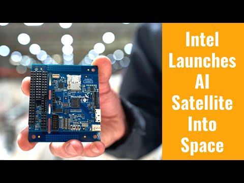
Other aspects of the newly launched satellite focus on capturing visual data of our planet. To carry this out, PhiSat-1 is equipped with a hyperspectral-thermal (HyperScout 2) camera from Cosine. The Intel Movidius Myriad 2 vision processing unit (VPU) provides the capacity for artificial intelligence that matches the camera’s capabilities.
Why launch AI into space?
Has HAL 9000 taught us nothing about AI in space? Jokes aside, while 2001: A Space Odyssey was certainly a milestone of science-fiction, the scope of the Intel AI residing in PhiSat-1 is entirely different. Edge computing can be difficult in some places of the world, but edge computing in space is a whole different league to manage. The AI will augment the operations by saving computing time and bandwidth.

The data that can be captured by satellites is enormous. For the case of visual captures and sensor data output, the AI can make a first selection of what to send back to Earth first. This way, the research team can bypass spending time with data that would only end up being deleted. This is a natural hurdle of imaging in space and cannot be avoided, as about 66% of our planet’s surface is covered in clouds simultaneously.
What’s next?
ESA and Ubotica are already working on the PhiSat-2, which will have a similar payload and is planned to launch 16 months after PhiSat-1. ESA confirms, “Their proposal involved an Earth observation 6U CubeSat platform capable of running AI apps that can be developed, easily installed, validated and operated on the spacecraft during their flight using a simple user interface.
Also interesting: How Are Satellites Powered?
The mission will address a wide range of AI applications, including transforming a satellite image to a street map, cloud detection in order to reduce the volume of data to be downlinked to the ground, autonomous detection and classification of maritime vessels, as well as forest monitoring and anomaly detection.”
YouTube: AI Satellite Imagery Enabled by Intel
By clicking play, you agree to YouTube's Terms of Service and Privacy Policy. Data may be shared with YouTube/Google.
Photo credit: All media shown has been taken by Tim Herman and is owned by Intel Corporation. Intel made this available for media as part of a press kit.
Source: Intel press release / Elena Raluca Mazareanu (Statista) / ESA announcement / datasheet from Ariane Group / Universitat Politècnica de Catalunya · BarcelonaTech press release / Cosine press release /